
IT’S BEEN EMOTIONAL
You know the term – plug ‘n’ play. That whole idea that you start up a device or machine and through its intuitive (key word, that) controls you quickly master its operation and can boldly go where or into whatever it is you’re seeking to go/do. Like an Apple phone – real easy. Well, working with a Garmin GPS unit isn’t like that. This is not regular car/van/bike turn-by-turn satellite navigation on highways, this is a whole new – and far more complex – world, where you need to be able to identify the maps you’ll be working from, you’ll need to understand the differences between terms like routes and tracks, you’ll need to master route-creating software and you’ll need the patience of a saint when it comes to managing your routes and transferring them from computer to device and back again.
Yes, you could think – like, ahem, me – that you could pay your £699.99 for your top-of-the-range Garmin Montana 750i and all your trail finding, routing and riding dreams will instantly come true. But as you’ve guessed by now, that’s not the case, no, instead you’ve just paid 700-quid to place yourself at the base of long and, it’s fair to say, ‘interesting’ learning curve.
However, having said all that, just as if you were sat in a jet fighter – or a Spitfire for that matter – today, knowing that you’ll not be able to start let alone fly the thing, you do at least understand you are in the presence of a formidably powerful thing. The Garmin Montana is very powerful, quite probably the best handheld GPS on the market. You’ve just got to learn how to fly the damn thing…
so yes, I’ve been through hell with this unit, trying to understand it. But now I’ve learned enough to really start to make progress and for sure it’s really opening up opportunities, it’s a powerful device and certainly worth the effort to get to know
THE 750i
For now, we’ll hold back on the user experience as it’ll be worth understanding a little about what’s under the hood, so to speak.
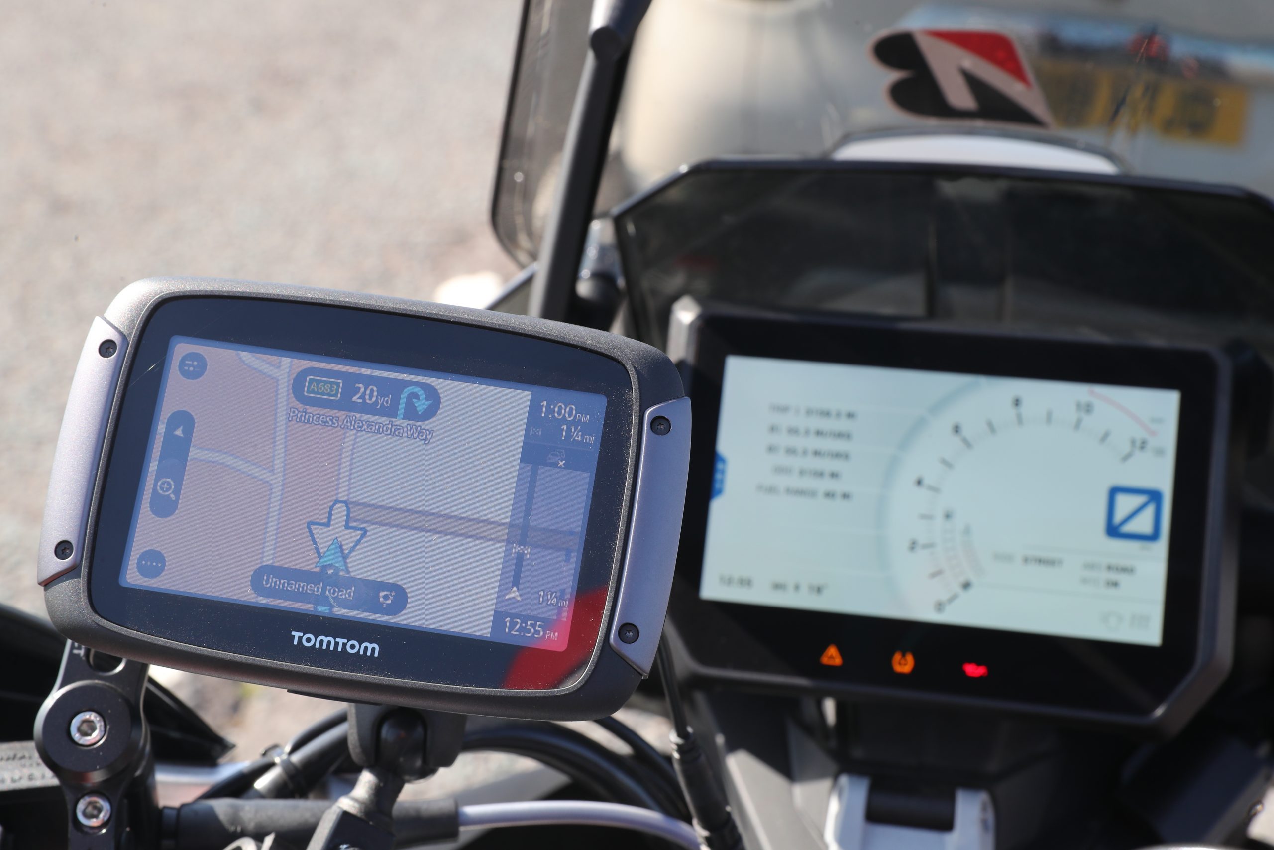
For a start it’s the latest iteration of the Montana family of Garmin’s hand-held GPSs, launched in 2020 (yeah, right in the middle of lockdown). The previous model was the Montana 600/610 (which dates back to 2011 – and which both our Warren and Craig use) and the most obvious difference between that and this is size. It’s a huge upsize and we’ve gone from a 4” to a 5” screen. That’s measured diagonally across the screen, and while that extra inch doesn’t sound much it’s actually a lot, it’s vastly bigger. As well, the screen has changed from what was resisted glass to gorilla glass. I’ve no idea what those types of glass are, but it’s akin to the speedo unit upgrades we’ve seen on our bikes, from LCD to TFT. Things are suddenly a lot brighter, sharper and bigger – which when you’re reading your GPS while riding, is a massive help.
Now then, the 750i, by virtue of being a GPS, is plotting your position with the American (NASA?) GPS (global positioning system) satellites and, as well, the European Galileo satellites. Back when you were hiking in the Dales as a youth, you had a paper map, a plastic compass and you’d be kind of triangulating off features you’d see on the ground and shown on the map to figure just where you were. GPS units instead look to the sky and by locating your position relative to the many satellites similarly triangulate where you are – in a split second. So you appear as the little arrowhead in the map on the screen. What’s cool with the 750i is its super-accuracy and speed. Of course, your common-or-garden sat nav does this too, but I have to say between switch on, acquiring satellites and go, it’s a pretty short interval. Plus when it comes to tracking you as you move – it’s on it.
Another big-big feature of the 750i is that it is a two-way communicator with satellites. Your average sat nav generally just deals with positioning based on signals it receives and gets on with that. But the 750i – reflecting your desire to go off-grid – and by that we mean way into the wild, possibly beyond the range of mobile phone transmitters/receivers – does that but also can also ping messages via satellite to anywhere in the world. This enables it’s inReach function to send an SOS message (and exact positioning) should you take a tumble and can’t self-rescue, plus it can offer live tracking so relatives/friends can see where you are right now. Or you could just plain send a text message anywhere anytime to say, ‘get the dinner ready, I’m on my way’. You do need to pay a subscription for that, sorry to say, and at about £15/month you’ll think a bit on how much you need that. There is, though, the option (the ‘freedom’ plan) that allows you to only take up the comms as and when you need them, so for instance for a two-week adventure holiday.
Next up, you have to be impressed with an 18-hour battery life. Mega if you don’t want to hardwire it to your bike (or have attached it to a borrowed bike). Apparently there’s even a low power mode that extends the battery life into days and weeks. There’s also an 8mp camera, which will geotag where and when you took the photo. Not that your phone won’t do that already. And there’s a torch – which can be handy as phone torches suck power, so a second torch like this is very useful. The Montana can give you weather reports too, although again most phones will do that with a free app these days.
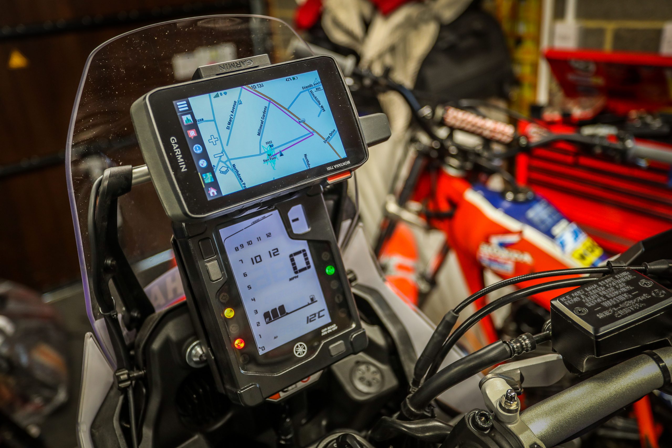
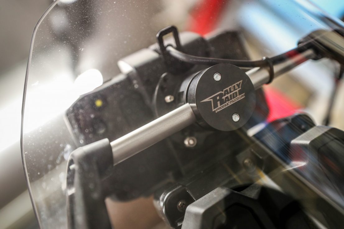
What else? Well, much more so than any mobile phone this thing is a proverbial brick, designed to be thermal, shock, water and vibration resistant – all of which is super important for trail riding. And it’s compatible with Garmin’s own motorcycle/ATV mount and power cable – which in turn is compatible with a multitude of third-party mounts made by anyone from Touratech to Rally Raid Products.
Oh, and it also has a conventional sat nav function. So when you reach the end of the trail you can switch to highways mode and have turn-by-turn instructions to get you home – always useful.

IN USE
First up, I love the size and build of this thing. It reminds me of my Canon 1DX camera – built to resist combat conditions. Second, when you press the on (sorry, ‘power’) button the thing fires up and is ready to go easily inside of a half a minute. Which is nice.
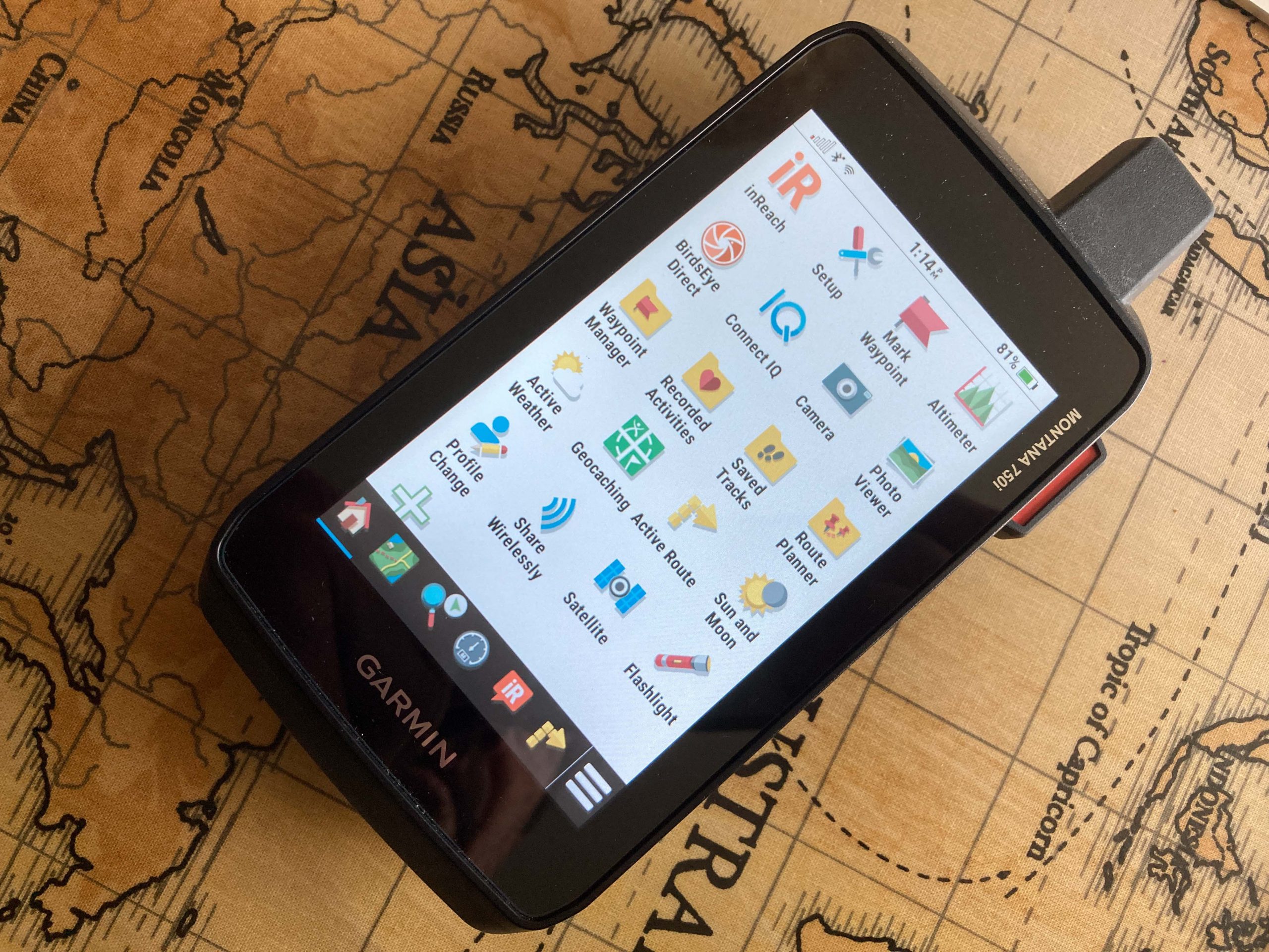
After that point, well, I’m not so enamoured. As alluded to earlier, there’s no welcoming party, no introduction to how the thing works. It just sits there dumb, assuming you know everything there is to know about its operation. The home screen features 20 icons for various functions and then there’s six more icons in a bottom tool bar – again as a newbie you are then looking at 26 icons wondering which ones are important, which ones are not, which ones might get you into trouble. You don’t get a detailed user manual either, and Garmin’s online support is pretty feeble, so you have to start tapping the icons to see what each one does what and hope for the best. As well, as it comes out of the box the icons aren’t stacked in an order that makes sense to us trail riders (although it turns out you can restack the icons in an order that suits you – this I only found out months down the line). So a minor point, perhaps. But… yeah, you have to invest time, a lot of time, to get to know the thing.
BASECAMP
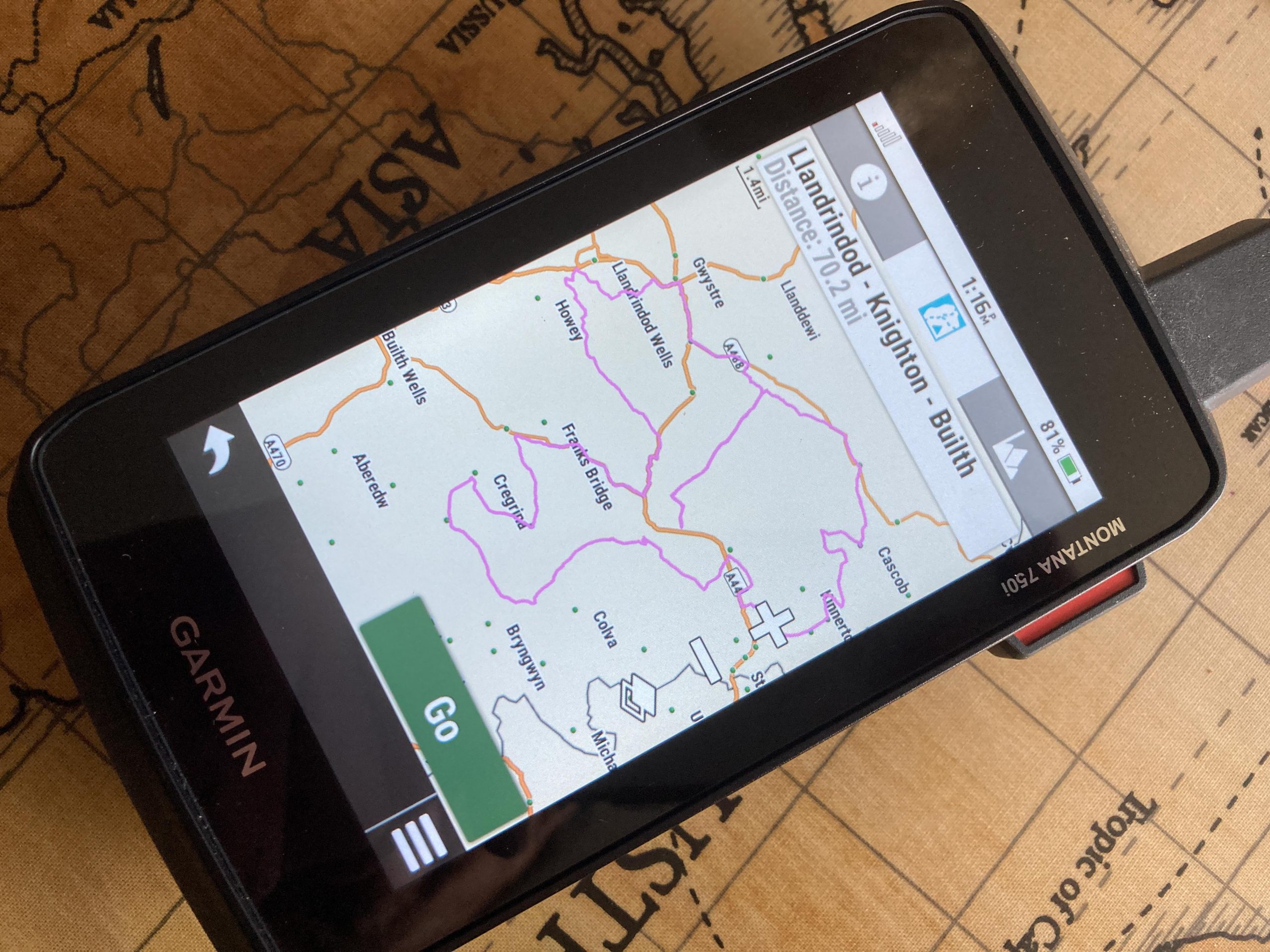
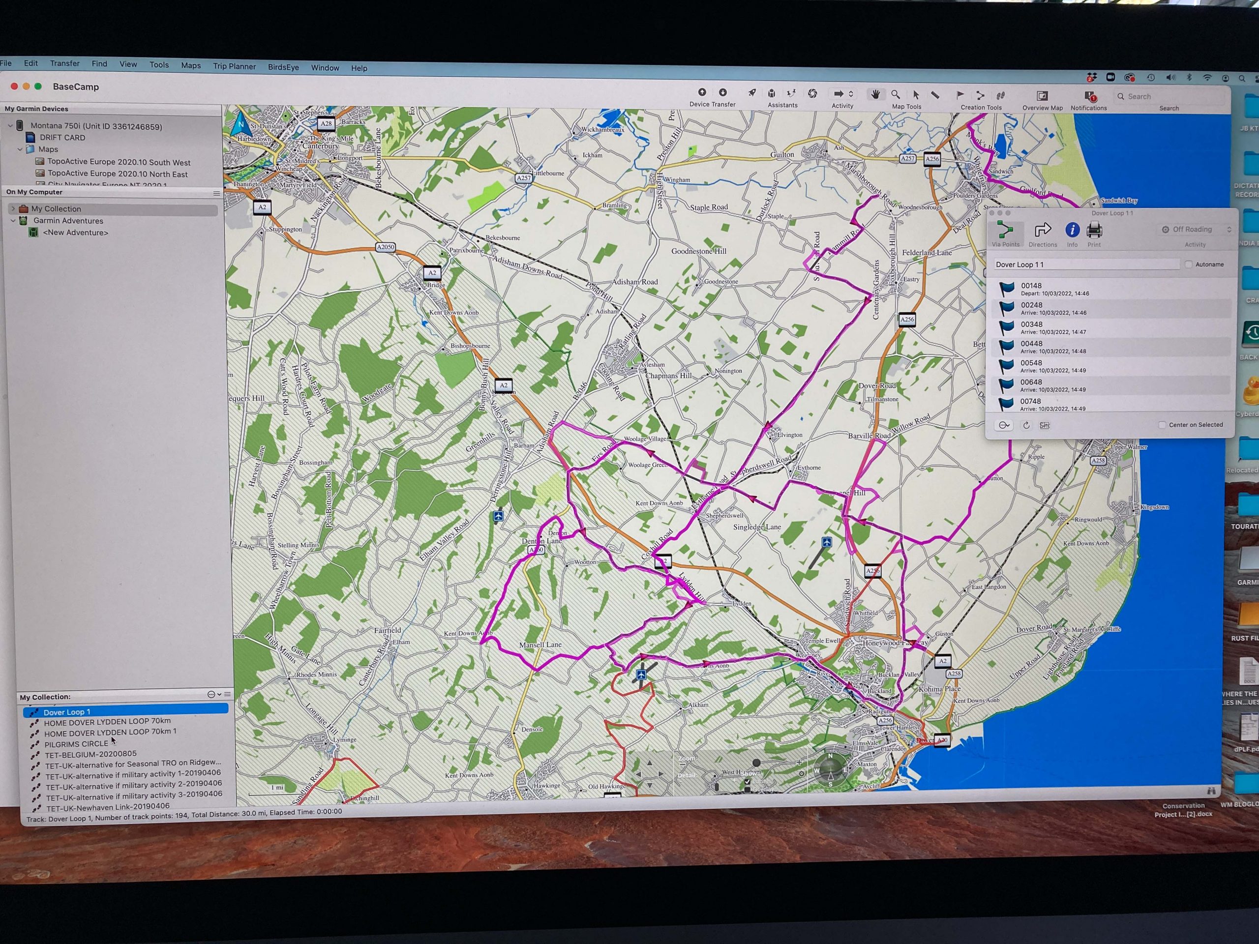
Now the key to unlocking the potential of the Montana is Garmin’s Basecamp software. This you can upload for free onto your PC or Mac. The idea here is with Basecamp you can import and export routes, or create routes – essentially all the backroom stuff, so that you can go out with your routes in your Montana ready to follow and enjoy.
Only just like the Montana, the Basecamp software – as powerful as it is – does not come with intuitive controls. Instead you have a cast of thousands in terms of icons and dropdown menus – mostly labelled with the most unhelpful names – with which to operate. It’s a bloody great web of confusion on first initiation and frankly it stays that way for a long time.
Here’s another thing. Maps. You’d think the GPS and the software would come prepared with them. The Montana kind of does. Only these are a kind called Topo maps and unlike Ordinance Survey maps these come with a lot – and I mean a lot – less detail. Meanwhile Basecamp comes with a map called global map because as far as I can make out it only just about details that the world is round, after that you couldn’t plot your way to the nearest Tesco Express using it. However, if you plug your Montana into your computer the Basecamp software will access its Topo maps, so you can see where Birmingham is at least.
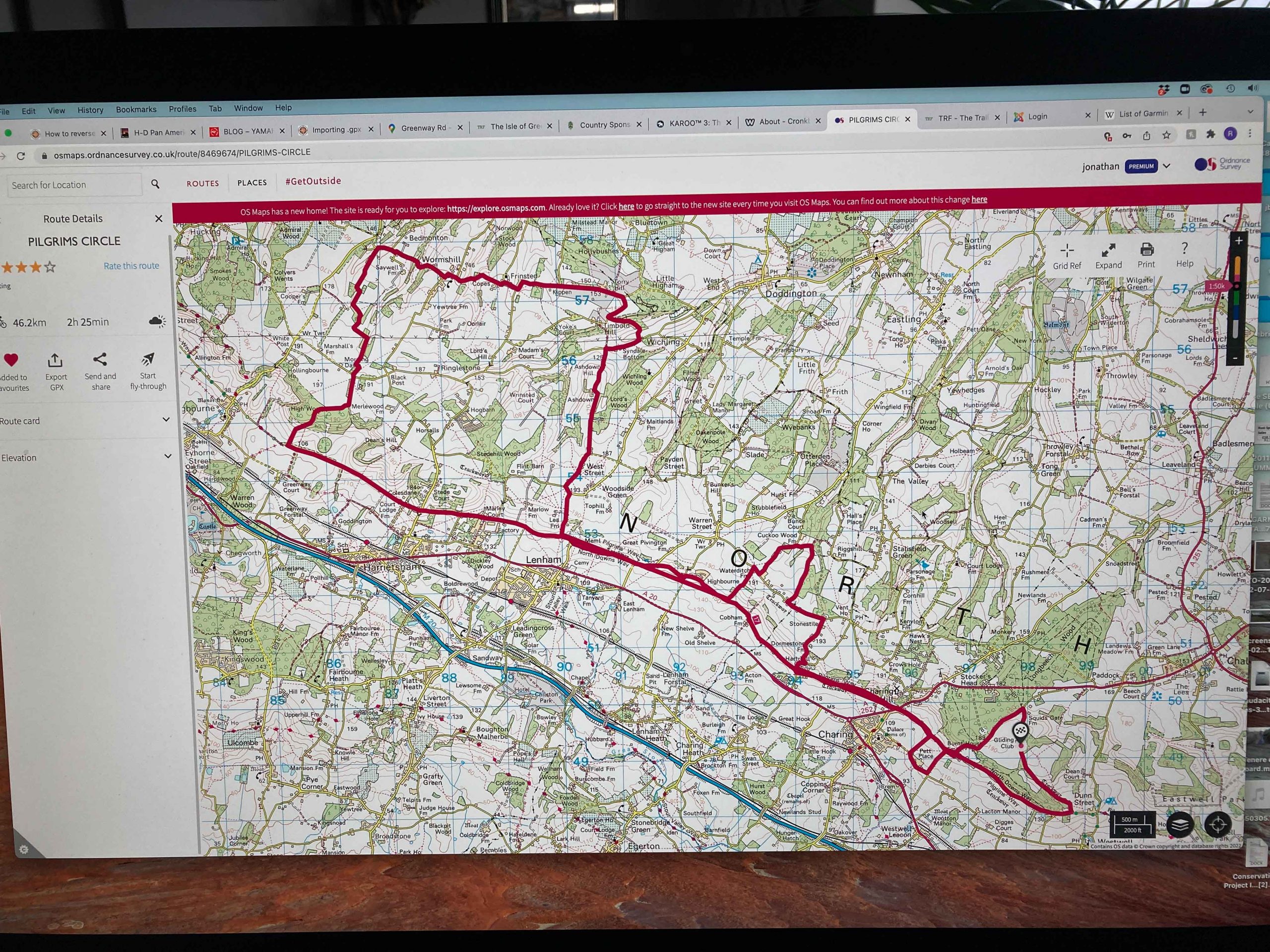
What you really need to do is spend another hundred or two hundred quid on a memory card (SD card) on the excellent Ordinance Survey OS maps of the UK. Only then will you have all the detail you need.
Still, as said, Basecamp will most likely have you bamboozled unless you seek professional advice or have a good mate who’s already received professional advice who can tutor you.
GPStraining.com
Now I’ve spent months trying to get to grips with the Montana and the Basecamp software. In the end I gave up with Basecamp and instead took out a very reasonable subscription with the Ordinance Survey for their digital mapping service, where I could plot my routes with accuracy and some simplicity, although their plotting capability could do with a little more sophistication to allow easier plotting changes.
Having created routes I then exported these as .gpx files, as you must. But as the Montana cannot cope with route of more than 250 waypoints I then learnt that I had to convert the ‘routes’ into simplified – but still accurate – ‘tracks’ before the Montana could follow them. This involved importing the routes into Basecamp and converting them to tracks. A quick and easyish process once you’ve figured out how – yeah, once you’ve figured out how… Getting these tracks into the Montana hasn’t been straightforward either and so far I’ve not managed it wirelessly, instead putting the tracks onto an SD card and loading this into the Montana.
This has taken months of learning. I contacted Garmin’s technical assistance quite a few times, sitting in on a Zoom call or two to try and wade through all the barriers that I was up against. But I suspect the tech team there is better able to sort physical tech issues than actual operating problems.
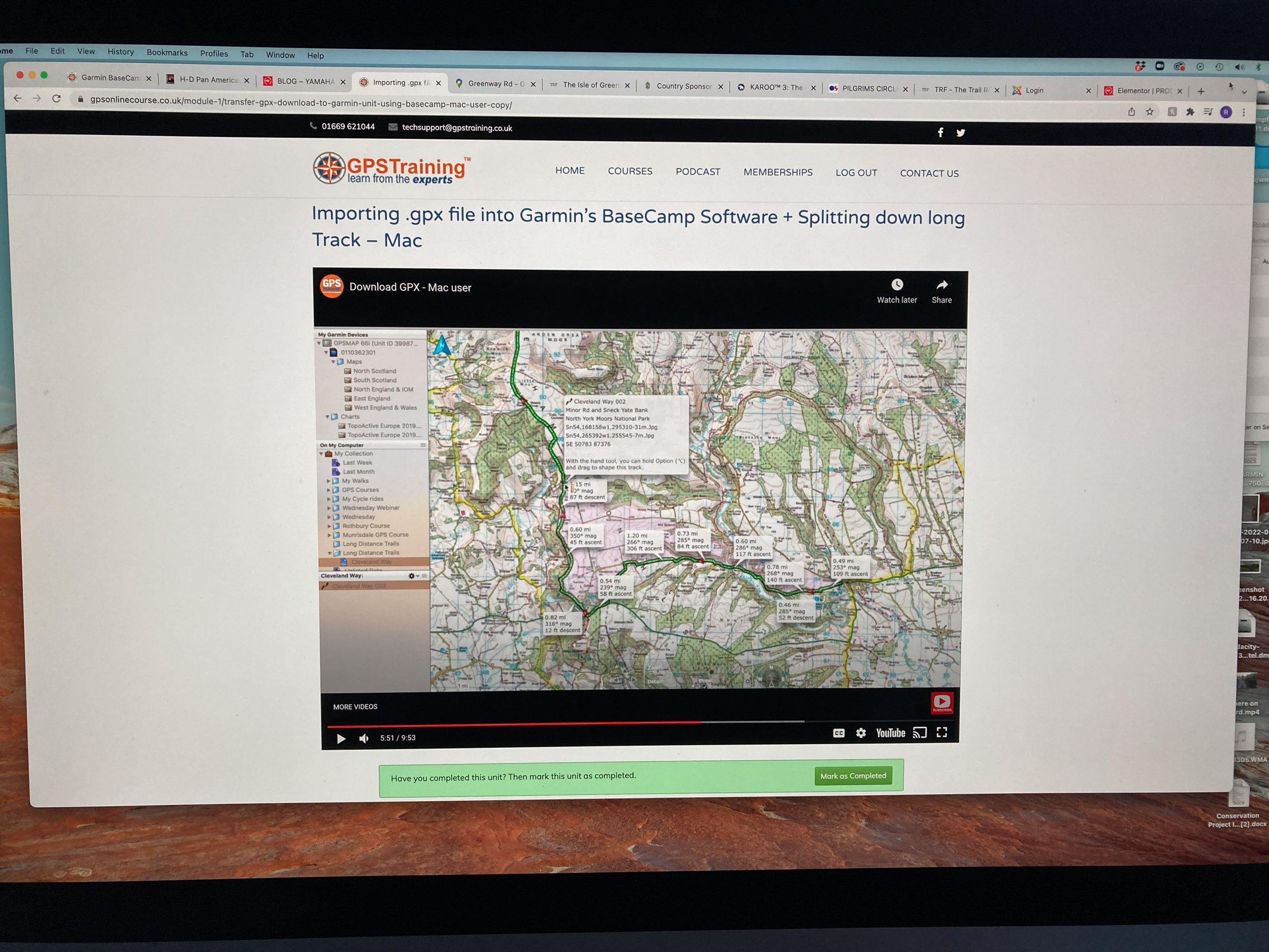
Now here – I’m very relieved to say – I can save you all those months of pain. There’s a super-simple solution here and it’s a firm in Northumberland called GPS Training. These guys went through all this pain that I speak of years ago, they know the shortcomings of Garmin and so have devised a full programme of assistance for operating Garmin devices. This ranges from in-person tuition days, to online zoom tuition, to a vast library of tuition videos. And all of these at super modest prices. Within two days of accessing their digital tuition I had so many of my Garmin bugbears sorted. GPS Training (the owner, Jon, is a keen motorcyclist) also sell all the Garmin units and as they explained, they know not to just send the devices out mail order style. Each unit they unpack for you, configure it to suit you, send it with copious instructions to get you started, they ready-install the mapping you need and with a subscription to their tuition options they’ve got you covered for the whole learning process. After months of anguish they have saved my (and Garmin’s) bacon for sure – and they’ll save yours, too.
WHERE I AM NOW
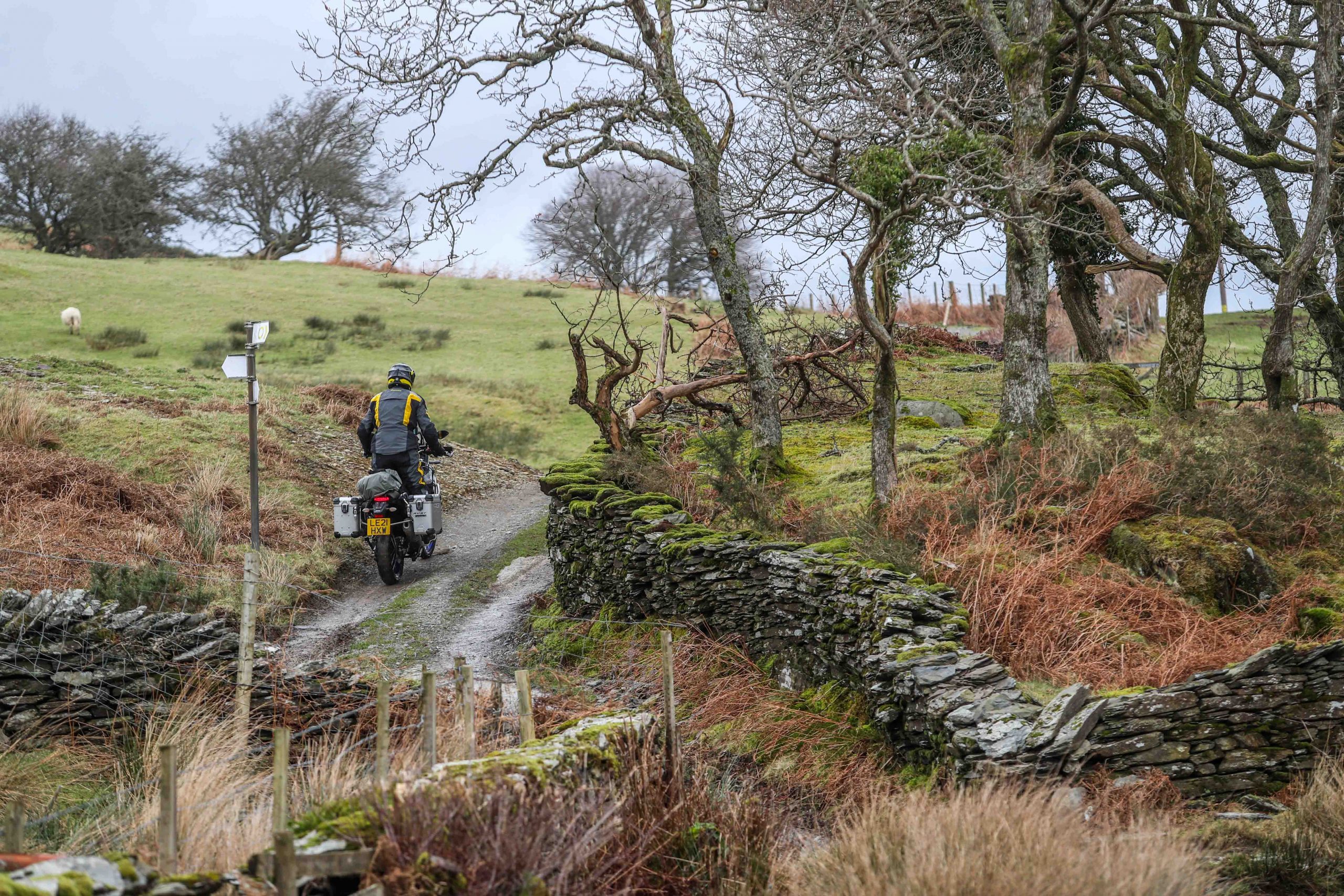
So here, at the beginning of March 2022, I’m at last in a fairly good place with the Montana 750i (and Basecamp). I’m by no means proficient in its use, but I am now by the day becoming more familiar with it, being successful in plotting (on my computer) routes I’d like to take (and I’m talking Green Roads), transferring them to the Montana and following them on the ground. I’ve been impressed with the accuracy of the plots. Working on OS Maps 1:25,000 scale the plot is super-accurate, and the rendering of the plot on the Montana is impressively clear and easy to follow.
I still have a few bugbears. I’d like a thicker route/track line to follow, so I can distinguish it better from the roads and tracks that the Topo map on the unit shows – that’s my main thing. And sometimes I still get befuddled by the unit (which icon? what setting?), and when it comes to swapping to the turn-by-turn sat nav to get me home I’ve found it easier to communicate the destination address through Garmin’s Explore app on my phone than trying to get the Montana to understand that yes that is the bloody post code. I can also get it to track where I’ve been but I’ve not yet succeeded in downloading that data to create or catalogue new tracks. That’s to come.
And so yes, I’ve been through hell with this unit, trying to understand it. But now I’ve learned enough to really start to make progress and for sure it’s really opening up opportunities, allowing me to scour the maps for trails and to link them to rides. And compared to my old modus of taking a paper map and stopping regularly and unfolding it to figure which way next, then I’m saving hours on each ride. Yes, it’s a powerful device and certainly worth the effort to get to know.
More again soon!
RUST’s Garmin Montana 750i
Quick answers
Buying: go to GPStraining.com
Training: yes, you’ll need this absolutely – GPStraining.com has it covered and won’t charge you a fortune with options of in person, online in person, or pre-recorded video tutorials, plus written instructions
Mount: buy the Garmin cradle with power cable (about £100) but for mounting use either Rally Raid Products multi-mount for £45 (as we have), or if you want a super-serious lockable type, Touratech’s mount for about £120 is as good as it gets
Mapping: For the UK you can’t go past Ordinance Survey maps. You can take an online subscription for digital mapping for as little as £2.99 a month. For your device a Satmap Mapping SD card will give you the whole of Great Britain at 1:50,000 (OS Landranger) – it’s a hefty £200, but GPStraining.com do discounts if bought with a GPS. Once installed in the Montana you can link it to Basecamp for seriously accurate plotting
Green Roads: If you want to know which lanes are legal right now there’s only one place to go: the Trail Riders Fellowship. Join the gang and you’ll get access to their excellent online Green Roads Map which in real time helps you find byways and confirms through colour coding its legal status right now